Hi Rick!
We really enjoyed Lake Champlain on last summer’s 800 mile Triangle Loop using Waterway Guide, Great Lakes, Vol 1. Has 15 dense pages (of 536) on the lake including sites, marinas,navigation notes and web updates.
https://www.waterwayguide.com/
This lake is bigger than it looks on a map, 109 miles north to south and up to 9 miles wide, when the horizon is 3 miles at typical C-Dory helm height. And really, starting in upper New York in mid-October rather than July or August? There’s a reason NY shuts down the canals Oct 15.
Water levels at:
https://waterdata.usgs.gov/usa/nwis/uv?04294500
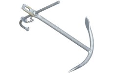
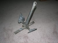
We pinged south back and forth from the NY to VT sides, but a stiff breeze could make that uncomfortable in a CD22. Hope you have at least 2 weeks! Lots of spots on either side to hide out in a blow, but by Nov a blow can last 3 days and include snow. We don’t do snow, (me sissy) but then we’re from FL. Entire area has thick weeds that make anchoring in under 8 ft of water almost impossible, or at least not worth the effort, and a Fortress is useless there. Get a Rocna or Manson spear-tip, or a marina slip with unlimited hot showers. Active Captain anchorage rec'd looked good and entire lake has good Verizon coverage except in the middle.
Must sees (between ice storms) include Burlington (at your launch point), Plattsburg, the Inland Sea at The Gut, esp Burton Island State Park and marina (closes Sept 30 for some reason), Valcour Island, and Westport at least.
I don’t see a ‘bike causeway cut’ on Active Captain, but going around Marble Island it’s 85 ft deep and close by.
Hope this is helpful.
Best of luck and weather, get a photo album and post about your most excellent adventure!
John


