Just got back (again) and checked the Blog. "Towing". (And signed up for the email notification, Thank you.) My favorite stops are Loves:love Truck stops. Always lots of room, long handled window squeegees, and cleanest restrooms.
Are you looking at going up the west side of the water, staying closer to the Vancouver Island side. I'm thinking, since you are checking in at Sidney. Good protection until you get up to Nanaimo. Strait of Georgia can be iffy. You can get current conditions for just N of Naniamo (off Parksville) from Winchelsea Control, on 16 or (I think 10) They are the monitoring station for what used to be Whisky Golf, the military munitions/torpedo's testing area. WG won't be an issue as long as you stay a couple miles or less off shore there. If you go between Vanc Isl and Denman Island, be advised there is a cable operated(powered) ferry there, 2/3 of the way up the island. There will be red or green lights or if you are close and don's see the lights, (they are down pretty close to the water level), give the Denman Island Ferry a call and confirm you're crossing and you want to know there ETA to Crossing. (They do show up on AIS.) When they are moving that cable comes up to with in a foot or two of the surface.
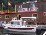
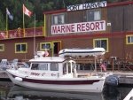
Just "inches" past Campbell River is Seymour Narrows. CR (before the Narrows) and Browns Landing Marina, just past the Narrows are the last fuel chances until you get up to the north end, (Telegraph Cove, Port McNeill, or Port Hardy-the last one) before the turn around Cape Caution.
From there I can't help you. I turned left and went around to the west.
WOW, just wishing you a great trip, Stay safe, Prayers for that.
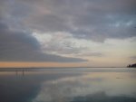
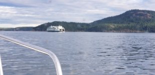
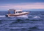
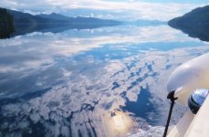
Some days are like this on Johnstone Strait.
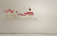
And, Some days are like this - Scarlet Point lighthouse, Balaklava Island at the North end of Vanc Isl.
Harvey
SleepyC:moon
