| View previous topic :: View next topic |
| Author |
Message |
Wood Zeppelin
Joined: 09 Feb 2016
Posts: 312
City/Region: Seattle
State or Province: WA
C-Dory Year: 1997
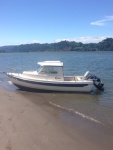
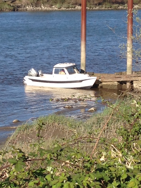
C-Dory Model: 22 Angler
Vessel Name: C-Creature
Photos: Childhood Dream
|
 Posted: Sat Sep 02, 2023 1:37 pm Post subject: Puget to Powell Posted: Sat Sep 02, 2023 1:37 pm Post subject: Puget to Powell |
 |
|
I just towed my 16' Cruiser down to my 2nd home in Escalante, UT. Plan to go explore Lake Powell sometime between now and Mid-October. I heard the level was up enough to launch this year, but the drought is still the dominant long-term pattern in the region. So, I figure this is a good time to go!
Anyone have thoughts on my timing?
And where to launch?
And the really Big question I have: with the lake level constantly changing, is a depth chart even a thing? How do you avoid the risk of running aground!?!?
_________________
James Salay - Real Estate Broker / Investor, Engineer, Artist, Fisherman, Canyoneer, Outdoor Enthusiast
Current boats:
1997 22' Angler - "C-Creature"
1988 16' Angler - "E-fishn-C" (Project boat)
1997 16' Cruiser - "Wet-a-Net"
Also:
14.5' Drift Boat - "Wood Zeppelin" |
|
| Back to top |
|
 |
thataway
Joined: 02 Nov 2003
Posts: 20810
City/Region: Pensacola
State or Province: FL
C-Dory Year: 2007
C-Dory Model: 25 Cruiser
Vessel Name: thataway
Photos: Thataway
|
| Posted: Sat Sep 02, 2023 2:36 pm Post subject: |
|
|
We always launched at Wahweap, or the nearby State Line ramp. The lake level currently is 3575, You need about 3585' level to use Castle Rock Cut. (saves going an extra 12 or so miles, around Antelope Island.).
Dangling Rope store and fuel is still closed. So you either have to carry enough fuel, water and food to reach Bull Frog or only go 1/3 of your fuel range.
Some prefer to launch at Bullfrog. It looks as if that is a little closer than Wahweap for you. The ramp was extended with the Sea Bee steel mats, Also the North ramp is available.
Also for exploration, it might be fun to go North from Bullfrog, to Forgotten Canyon Ruins (Defiance House) and explore canyons there, then go back to Bullfrog, refuel/water/provisions, and head south to the extent of your fuel (1/3 to destination, 1/3 to get back to the point of departure/fuel, and 1/3 reserve.).
Even thought this is lake, it can get mighty rough with certain winds. We heard the most "maydays" I have ever heart in one day during a Memorial Day weekend a few days back. Also beware of the flash flood, and falling rocks. There was a boat which was hit by a boulder and both occupants were killed. Cell phone is limited to where you can see Navajo Mountain, where there is a cell tower/repeater. Instant messages have a better chance of getting out. But we did always carried our Personal Locator Beacon or EPRIB. Spot and InReach would also work for distress or message contacts.
Have good anchoring gear, and also stern anchors or beach sand anchors. Have fun . September is generally a good month, but you can get sudden rain and winds. These can be dangerous, so be in a secure location, but not in a canyon where a flash flood would trap you.
_________________
Bob Austin
Thataway
Thataway (Ex Seaweed) 2007 25 C Dory May 2018 to Oct. 2021
Thisaway 2006 22' CDory November 2011 to May 2018
Caracal 18 140 Suzuki 2007 to present
Thataway TomCat 255 150 Suzukis June 2006 thru August 2011
C Pelican; 1992, 22 Cruiser, 2002 thru 2006
Frequent Sea; 2003 C D 25, 2007 thru 2009
KA6PKB
Home port: Pensacola FL |
|
| Back to top |
|
|
Wood Zeppelin
Joined: 09 Feb 2016
Posts: 312
City/Region: Seattle
State or Province: WA
C-Dory Year: 1997
C-Dory Model: 22 Angler
Vessel Name: C-Creature
Photos: Childhood Dream
|
| Posted: Sun Sep 03, 2023 1:15 pm Post subject: |
|
|
Thataway - thanks for all this great info!
Any thoughts on my question about how to *not* run aground when depths are constantly changing? Is this an issue people run into?
Just stick to main navigable channels, and go slow outside of those places?
-James |
|
| Back to top |
|
|
thataway
Joined: 02 Nov 2003
Posts: 20810
City/Region: Pensacola
State or Province: FL
C-Dory Year: 2007
C-Dory Model: 25 Cruiser
Vessel Name: thataway
Photos: Thataway
|
| Posted: Sun Sep 03, 2023 1:52 pm Post subject: |
|
|
Navionics charts are pretty good, also the paper maps are good. I used topo makes and outline the contour as that pool level, A lot of it is eyeball navigation. Generally the water is clear enough, with good high sunlight, to see where it shoals. Also watching the depth sounder--but some transitions are very abrupt.
You can view Navionics chart viewer on line to check out the routes. I loaded it on my I pad, and used that for both planing and double checking my German Chart plotter. Garmin now owns Navionics, and appears to be integrating that mapping into their most recent charts. Raymarine and Lawrence, Simrad and B & G will use the Navionics.here is a list of the comparable MFD.
Aqua Maps does not have detail of Powell on their on line chart viewer. (AM is the only non Garmin product to show Active Captain other than if you own a comparable Garmin product. I had put some notes on the Active Captain for Powell. If you google "Active Captain viewer" you can scroll to Powell, and most of my comments are there. Some have been edited, and some apparently deleted. |
|
| Back to top |
|
|
ssobol
Joined: 27 Oct 2012
Posts: 3373
City/Region: SW Michigan
State or Province: MI
C-Dory Year: 2008
C-Dory Model: 22 Cruiser
Vessel Name: SoBELLE
Photos: SoBelle
|
| Posted: Sun Sep 03, 2023 3:23 pm Post subject: |
|
|
| thataway wrote: | | ... (AM is the only non Garmin product to show Active Captain other than if you own a comparable Garmin product. ... |
If you do Android, Mx Mariner app will show Active Captain markers. |
|
| Back to top |
|
|
|
|
You cannot post new topics in this forum
You cannot reply to topics in this forum
You cannot edit your posts in this forum
You cannot delete your posts in this forum
You cannot vote in polls in this forum
You cannot attach files in this forum
You cannot download files in this forum
|
|
 Search
 Private Messages
 Profile
 Log in
 Register
 Help
Help
