|
|
|
 Search
 Private Messages
 Profile
 Log in
 Register
 Help
Help
|
|||||||||||||||||||||||||||||
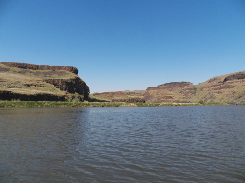
The entrance to the Palouse canyon. The NOAA chart showed depths of 40 feet. Local knowledge was required to find the channel, which is now only several feet deep because of siltation since the last survey. My lowest reading was 1.8 feet when entering the river channel.
|
|||||||||||||||||||||||||||||
