Is this a side scanning sonar? What were the depths of the wrecks? And, what exactly do you do for a living, as you have some real neat "toys" at your service? Green with envy, Butch.
From:
Bluecrab (Bluecrab)
(Fri Apr 1 12:59:55 2005)
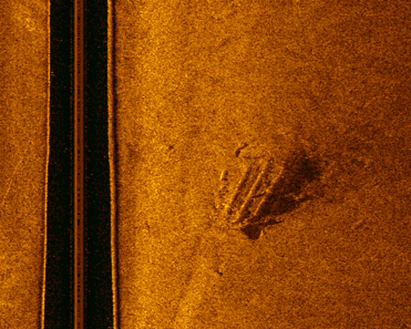
Yes, this is a side-scan image, taken with an Imagenex 375 kHz sonar. Would have to look back at the data for the precise depths, but most of the wrecks we saw on this part of the Pamunkey were in about 10-20 feet of water. On the previous image, however, you can actually see the shoreline to the left - some stuff was visible from the surface. Found about a dozen Civil War wrecks on that survey. I teach archaeology at Washington College - specialty is marine archaeology, so most of the toys belong to work!
 Search
 Private Messages
 Profile
 Log in
 Register
 Help
Help